

Geography you can name
State the coastlines, mountain ranges, rivers and where the cities sit; the map follows your brief instead of inventing a random continent.
Prompt Guide
Model
Reference Image

Describe the geography — continents, coastlines, mountains, cities — and get a map you can print, drop into a novel or hand to your players. Choose a watercolor, ink or 3D style, keep the labels readable, and iterate region by region.

Nine maps reused from the current page plus two new renders — watercolor, ink, 3D, ocean and desert styles.
Watercolor continentEnchanted island with volcanoes, waterfalls and hidden temples, watercolor texture, artistic fantasy style.
Try this prompt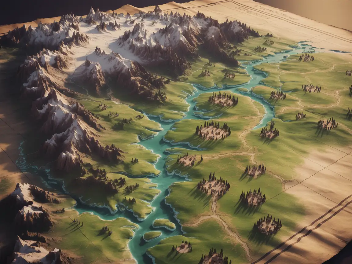 Archipelago atlas
Fantasy archipelago atlas with sea routes, compass rose and aged parchment, muted colour palette.
Try this prompt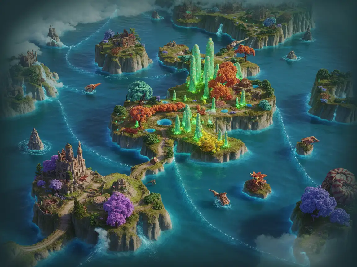 Northern kingdoms
: snowy mountain ranges, pine forests, rivers and border lines, painterly map style.
Try this prompt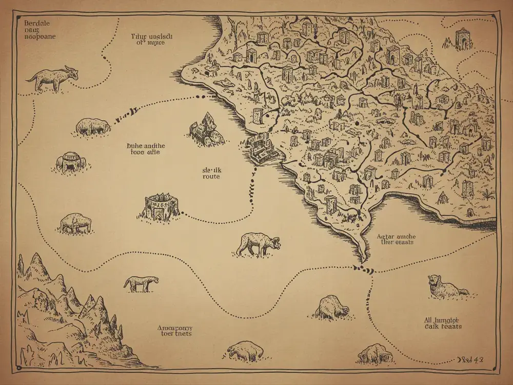 Medieval ink map
Hand-drawn medieval map with ancient cities, trade routes and mythical beasts, sepia tone, old ink style.
Try this prompt 3D terrain
A 3D fantasy map of continents surrounded by crystal-blue oceans, realistic terrain, digital painting style.
Try this promptStone carvedA fantasy world map carved on stone, glowing runes marking ancient ruins, cinematic fantasy lighting.
Try this prompt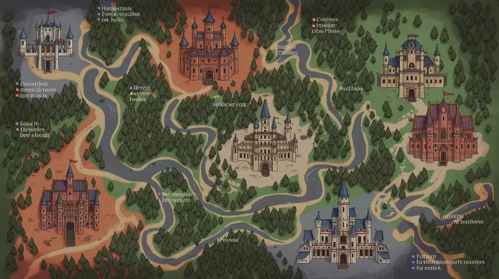 Regional detail
 map of a contested border valley: rivers, passes, watchtowers and small settlements, ink and wash.
Try this prompt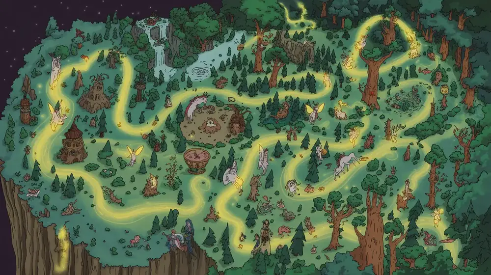 Coastal chart
 of a trade sea, depth lines, harbour towns and lighthouses, antique cartography style.
Try this prompt World atlas
Full world atlas spread with two hemispheres, climate notes in the margins, engraving style.
Try this prompt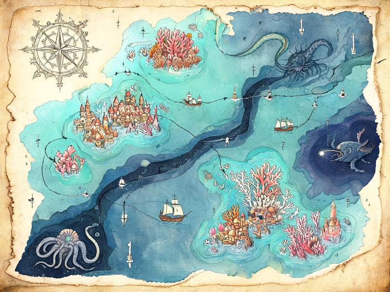 Ocean depths
Fantasy map of a sunken ocean kingdom: coral cities, trench routes, sea-route lines with ship icons, depth markings, sea-monster illustrations, teal and indigo watercolor on aged parchment, ornamental compass rose.
Try this prompt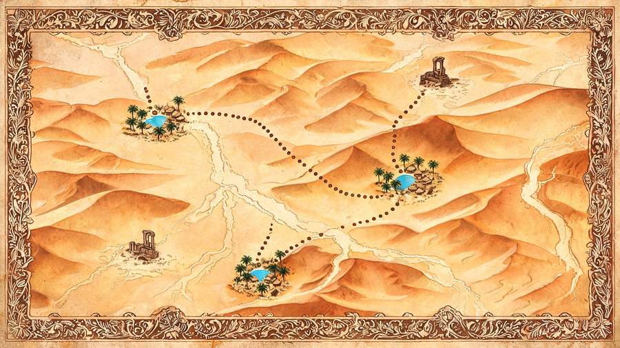 Desert routes
Fantasy map of a desert empire: dune ranges, dried riverbeds, oasis towns, caravan routes as dotted lines, ruin markers, ochre and burnt sienna ink on parchment, engraved border.
Try this promptWhat this page is built to do.
State the coastlines, mountain ranges, rivers and where the cities sit; the map follows your brief instead of inventing a random continent.
Ask for watercolor, sepia ink on parchment, painted 3D terrain or a stone engraving — the same world can be redrawn in another style later.
Place names stay legible at print size when you list them in the prompt, which matters for novels, RPG handouts and table props.
Generate the world first, then zoom into one valley or coast for the session your players are actually in.
4:3 and 16:9 for handouts and wall art, 3:4 for book interiors, 1:1 for social previews.
Start on the free model, switch to another renderer when you want a different painterly feel for the same geography.
Three steps from idea to final render.
List the continents, coastlines, mountain chains, rivers and the cities that matter, plus the style: watercolor, ink or 3D.
Pick 4:3 for a handout or 16:9 for a screen, and start on the free model to test the geography.
Keep the world prompt, then rewrite one area for detail; download the final map for print or your VTT.
Same prompt, different map finish.
| Criteria | Nano Banana 2 | GPT Image 2 |
|---|---|---|
| Best role here | Free first pass to test the geography and the labels. | Final map for print or a paid product. |
| Pick it when | You are iterating on coastlines and place names. | You need a consistent painterly finish across a set. |
| Free trial | One free generation per new account. | Paid only. |
Illustrative scenarios with fictional names.
I described the coastline and the three port cities and got a map I could actually label. My players found the pass I mentioned in session one.
Generating the world, then the border valley, was the workflow I needed. The ink style matched the handout I had already printed.
The 3:4 version dropped straight into my novel interior without cropping the legend off.
It turns a written description of geography into a finished fantasy map image — coastlines, mountains, rivers, cities and labels — in a style you choose, without cartography software.
Yes. Upload a rough sketch or an existing map as a reference and describe what should change; the model keeps the layout you drew.
Short names usually render correctly. For long or unusual names, generate the map without labels and add them in any editor, or list the names simply in the prompt.
Novels, RPG handouts, game worlds, classroom material and wall art. Check the model terms before commercial distribution.
The first generation on a new account uses the free entry model; other renderers are paid.