

Set the City's Identity
Combine an era, building materials and terrain to establish a visual direction. A mountain trading town and a dense harbor city should have different shapes, not just different colors.
Use the AI city generator to give your setting a clear visual identity. Build a city image around a specific era, landscape and point of view. Compare a medieval hillside town, a coastal district or a future skyline, then refine the direction that fits your story.
Create a City Image







Prompt Guide
Model
Reference Image
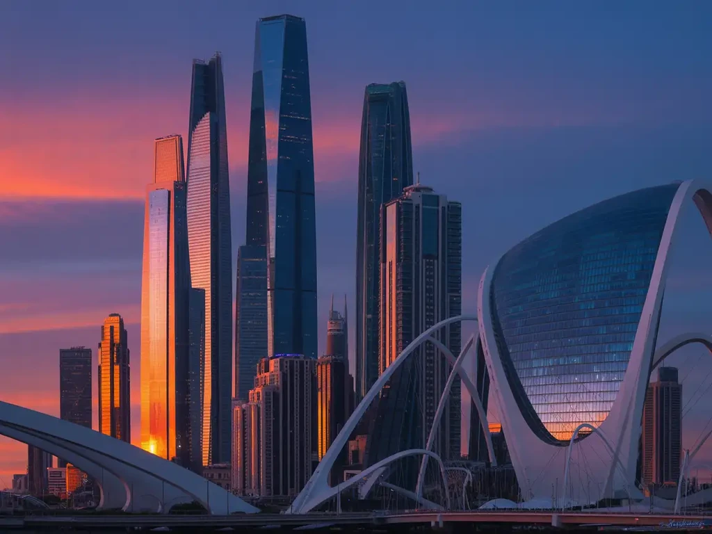
Choose one clear direction, generate a version and inspect the result.
Define the era, terrain, density and building materials. State whether you want a fictional city or a stylized interpretation of a place.
Specify the camera height, distance, lighting and art style. Name a focal point such as a harbor, central square or layered skyline.
Check perspective, repeated structures, roads and building edges. Change one major choice for the next version and keep the strongest result as your visual brief.
Clear visual directions help you decide what to make next.
Combine an era, building materials and terrain to establish a visual direction. A mountain trading town and a dense harbor city should have different shapes, not just different colors.
Describe an aerial view, a street-level scene or a distant skyline to match the image's role in your story. Keep the other choices steady when comparing compositions.
Use the selected city image to communicate atmosphere, scale and architectural mood to collaborators. Review and annotate the concept before expanding it into other scenes.
Generated visual directions for inspiration. Adapt the brief and review each result; exact reproduction is not guaranteed.
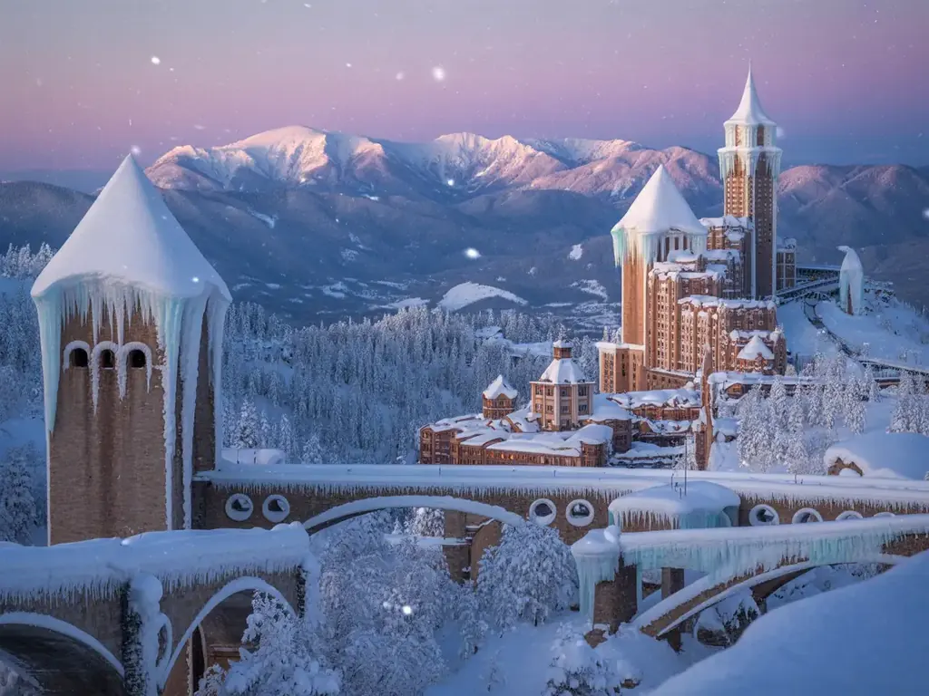 Winter cities
Create winter citadel as a coherent image concept. Preserve a clear subject and natural detail; inspect the result before use.
Try This Direction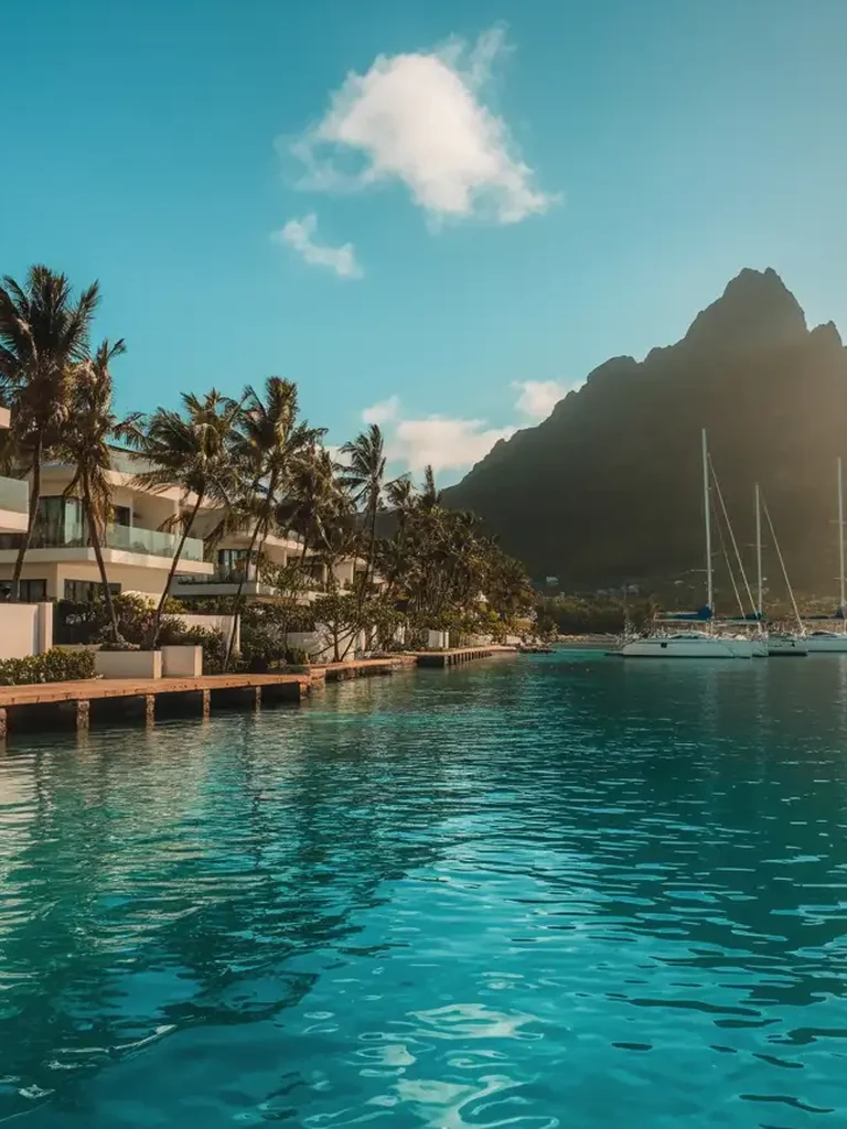 Coastal cities
Create tropical harbor as a coherent image concept. Preserve a clear subject and natural detail; inspect the result before use.
Try This Direction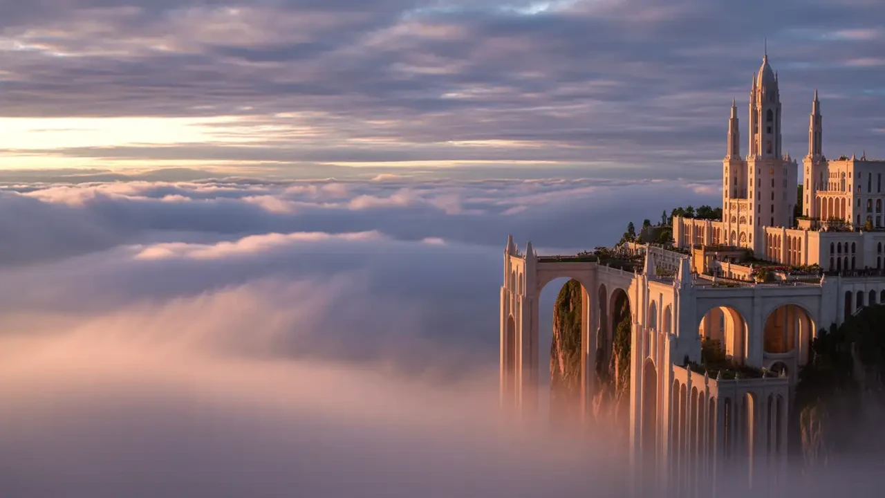 Fantasy cities
Create city above the clouds as a coherent image concept. Preserve a clear subject and natural detail; inspect the result before use.
Try This Direction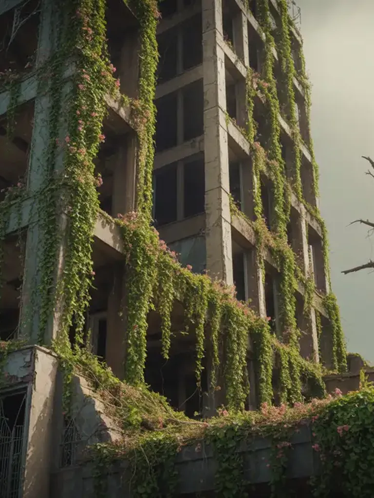 Overgrown cities
Create reclaimed tower as a coherent image concept. Preserve a clear subject and natural detail; inspect the result before use.
Try This Direction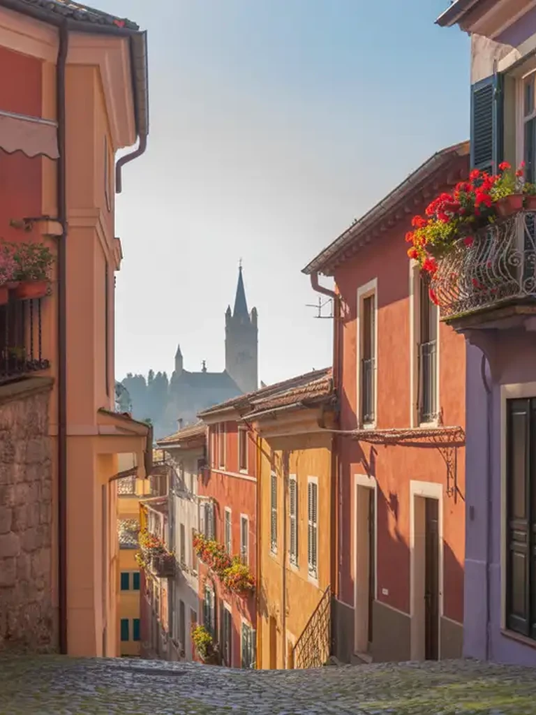 Historic cities
Create colorful old town as a coherent image concept. Preserve a clear subject and natural detail; inspect the result before use.
Try This Direction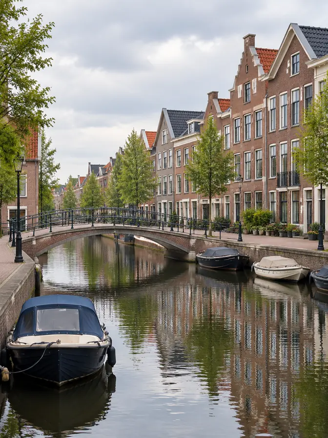 Contemporary cities
Aspect ratio 3:4. Photoreal architectural photograph of a contemporary Dutch-inspired canal district in soft overcast daylight, brick townhouses, one clean pedestrian bridge and moored small boats, calm water reflections and believable street geometry. No identifiable people, readable signs or logos.
Try This DirectionIllustrative scenarios with fictional names; these are not verified customer reviews.
Illustrative use scenario with a fictional name; not a real customer review. Elena compares a hillside market town with a harbor settlement to choose the setting for a fantasy chapter.
Illustrative use scenario with a fictional name; not a real customer review. Theo prepares a game-art moodboard and holds the materials and lighting steady while testing aerial and street-level compositions.
Illustrative use scenario with a fictional name; not a real customer review. Amira explores a future skyline for a storyboard, then annotates the chosen image to explain its scale and atmosphere to collaborators.
Describe a realistic-looking, historical, futuristic or fantasy city, along with terrain, density, materials and viewpoint. The output is a city image or visual concept for uses such as stories, games and moodboards.
This page focuses on images. It does not provide verified GIS data, navigable street networks, scaled building plans or engineering analysis. Use appropriate mapping or planning software when exact spatial information is required.
Use a permitted reference image if the selected model supports image input. Describe the changes you want and review the output carefully; a reference does not lock the exact street layout or building geometry.
Reuse a concise design brief covering landmarks, materials, terrain and palette, plus a reference where supported. Check each output for drift. Exact geographic continuity across separate images is not guaranteed.
This workspace's primary output is a static image. To animate a selected concept, continue in a video workflow that accepts the reference, then inspect buildings, traffic and perspective through the motion.